Carolinas A Better Place to Be

Favorite twisty roads

Thread Tools
 
Old 09-27-2005, 06:40 AM
  #21  
Registered User

Thread Starter
 
sheadlee's Avatar
 
Join Date: Jun 2003
Location: Asheboro, NC
Posts: 2,533
Likes: 0
Received 0 Likes on 0 Posts
Default

Here is the Asheboro Run 3


Asheboro Run 3

Meet at Tank & Tummy US-64 & NC-49 (zero out tripmeter)

Turn LEFT onto US-64 West

At 2.4 miles turn LEFT onto Stutts Rd

At 5.6 miles reach STOP SIGN turn LEFT onto Sawyersville Rd

At 6.4 miles reach STOP SIGN bear LEFT onto Moore Rd

At 8.4 miles reach STOP SIGN turn RIGHT onto Old NC-49

At 10.3 miles turn RIGHT onto Jackson Creek Rd

At 17.0 miles becomes Woods Dairy Rd

At 17.8 miles turn RIGHT onto Summey Town Rd

At 18.0 miles turn LEFT onto Loflin Hill Rd

At 20.1 miles reach STOP SIGN turn RIGHT onto Ross Wood Rd

At 23.1 miles reach STOP SIGN turn RIGHT onto Bescher Chapel Rd

At 24.2 miles reach STOP SIGN turn LEFT onto Jackson Creek Rd

At 29.0 miles reach STOP SIGN turn LEFT onto Old NC-49

At 31.4 miles turn RIGHT onto Lassiter Mill Rd

At 40.3 miles reach STOP SIGN turn LEFT onto High Pine Church Rd

At 50.1miles reach STOP SIGN turn LEFT onto Hopewell Friends Rd

At 50.2 miles turn RIGHT onto Mack Rd

At 55 miles reach STOP SIGN turn RIGHT, then LEFT into parking lot of Tank & Tummy

Warning: I am probably going to modify this route slightly, when I have time to track the mile and turn changes.
Old 09-28-2005, 11:32 AM
  #22  
Registered User

Thread Starter
 
sheadlee's Avatar
 
Join Date: Jun 2003
Location: Asheboro, NC
Posts: 2,533
Likes: 0
Received 0 Likes on 0 Posts
Default

Secondary to my GPS 'inspired' adventures returning home from the Border Run...I drove across a very nice twisty stretch of US 58, above Stuart, VA.

Sadly, I was stuck behind a 'land-yacht' being driven by a person from Florida...who had no business on this stretch of road. No speeds over 30mph and across the double yellow countless times !!!

Anyway...if you are in that area you might want to give that stretch a try.

Old 09-28-2005, 03:39 PM
  #23  
Registered User
 
Golden Eagle's Avatar
 
Join Date: Feb 2003
Location: Northeast PA
Posts: 1,040
Likes: 0
Received 0 Likes on 0 Posts
Default

Originally Posted by sheadlee,Sep 28 2005, 02:32 PM
Secondary to my GPS 'inspired' adventures returning home from the Border Run...I drove across a very nice twisty stretch of US 58, above Stuart, VA.

Anyway...if you are in that area you might want to give that stretch a try.
There are several very good twisty roads in that area. Try...

VA Highway 8 from Stuart to Floyd

VA Highway 40 from Woolwine to Ferrum (this road is right off Highway 8) Many curves and a sign at the start "No Tractor Trailers Allowed"
Old 09-28-2005, 03:53 PM
  #24  
Registered User
 
Golden Eagle's Avatar
 
Join Date: Feb 2003
Location: Northeast PA
Posts: 1,040
Likes: 0
Received 0 Likes on 0 Posts
Default

NC - VA Border Run

START 0.0 East on South Main Street in King, NC

LEFT 1.7 miles Brown Road

RIGHT 2.4 miles Chestnut Grove Road

LEFT 0.3 miles YMCA Camp Road (this is a very sharp left, watch carefully)

LEFT 6.1 miles NC 66N

STRAIGHT 7.0 miles Stay on 66N thru Intersection with NC268 (this is more like a quick right then left jag)

LEFT 6.5 miles Merge onto NC 89W towards Westfield

RIGHT 6.4 miles Slate Mountain Road

RIGHT 2.9 miles East Pine Street (aka NC103E)

LEFT 2.4 miles Unity Church Road, VA 614 (just over bridge at the VA state line)

STRAIGHT 4.4 miles At Stop Sign, Cross Ararat Highway onto Squirrel Spur

RIGHT 6.1 miles VA 600

LEFT 0.3 miles Crossver to Blue Ridge Parkway

RIGHT 0.1 miles Blue Ridge Parkway

LEFT 12.4 miles Winery Road at Mile Marker No. 172.5

RIGHT 0.3 miles Chateau Morisette Parking Lot

TOTAL 59.3 MILES
Old 10-06-2005, 06:11 AM
  #25  
Registered User

Thread Starter
 
sheadlee's Avatar
 
Join Date: Jun 2003
Location: Asheboro, NC
Posts: 2,533
Likes: 0
Received 0 Likes on 0 Posts
Default

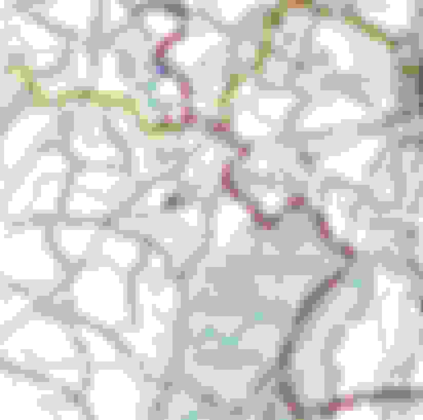
Here is a copy of the Pinehurst MED route...courtesy of VFROOM and Cutuesday (I think).

The last Pinehurst Drive:

Starting from the road in front of the Pinehurst Resort
Right turn at stoplight onto Hwy 5
Left turn on Linden Rd. (green sign "Foxfire Village")
Right fork onto Foxfire Rd. (green sign "Foxfire")
Straight at stop sign
Right onto Hotel street just after post office with flag
Straight at stop sign across Hwy 73 follow sharp left turn
Right on Currie Mill rd. (it is the 1st right)
Right on Lucas Rd. (it is the 2nd right, Candy rd. is the 1st)
Right at stop sign on Dead Man Curve Rd.
Right at stop sign on Hwy 211
Left at light on Seven Lakes rd.
Left at stop sign on Carthage rd.
Left to stay on Carthage rd. (1st. left after house w/flag
and white paint mark on road)

Left at stop sign onto Dowd rd.
Right onto Peace rd. (it is the 1st. right and it is hard to see)
Right at stop sign onto Bethlehem Ch. rd.
Right at stop sign onto 24/27
Left onto Old Glendon (turn beside Phillips 66 gas station)
U turn at the end of Old Glendon
Left at stop sign back onto 24/27
Go halfway around courthouse to stay on 24/27
Right onto Vass-Carthage rd. (no street sign, turn across from
big propane tanks)

Right onto Farm Life rd. (It is the 5th right, it is a crossroads)
Left onto McCaskill rd. (there is no sign, it is the left right
after you pass a school, if you miss it
keep going and turn left on Hwy 22.)

Left at stop sign onto Hwy 22
Right at stop light onto Airport Rd.
Left into Botanical Gardens.
Old 01-14-2006, 11:45 AM
  #26  
Registered User
 
Akilldema's Avatar
 
Join Date: Sep 2005
Location: Asheville, NC
Posts: 350
Likes: 0
Received 0 Likes on 0 Posts
Default

One of my favorites starts in Fairview, NC, it's very basic with only one turn. US74 towards chimney rock, rt 9 all the way to black mountain. It's a good long really twisty drive. A couple of short straights to wind the car out a little and then back to business. Another good one in WNC is Leicester hwy to hot springs, but I can't even begin to give directions for that..don't know any rd names.
Old 03-30-2006, 09:09 AM
  #27  
Registered User

 
s2kmaniac81's Avatar
 
Join Date: Mar 2005
Posts: 4,308
Likes: 0
Received 0 Likes on 0 Posts
Default

all the moutain rouds are good
Old 05-29-2006, 12:42 PM
  #28  
Registered User

 
drreid's Avatar
 
Join Date: Apr 2006
Posts: 164
Likes: 0
Received 1 Like on 1 Post
Default

About an hour from Winston or Greensboro, just northwest of Hanging Rock State Park to where Hwy 66 North intersects Hwy 89 going east then turns southeast. Check out the squiggles on 66 south around Hwy 268!

http://maps.yahoo.com/beta/#maxp=search&q1...36.410784&mag=6
Old 06-07-2006, 05:35 AM
  #29  

 
zacksdad2's Avatar
 
Join Date: Jul 2005
Posts: 2,519
Likes: 0
Received 1 Like on 1 Post
Default

Hope that you don't mind the intrusion from a Florida Cracker but the route that I take coming up to see my Carolina friends & family is Hwy 28 going north from Clemson all the way to the Dragon. It is the perfect road that has plenty of spots for triple digit driving, tight 9K turns, Picturesque Towns (Highlands), farmland scenery and country homes to drool over when you calm down to catch your breath. Just about all new blacktop and the perfect warm up for the Dragon. 2.5 - 3 hours one way, depending on traffic.

Zacksdad2 (Scott)
Old 06-07-2006, 06:11 PM
  #30  
Registered User
 
Golden Eagle's Avatar
 
Join Date: Feb 2003
Location: Northeast PA
Posts: 1,040
Likes: 0
Received 0 Likes on 0 Posts
Default

Originally Posted by drreid,May 29 2006, 03:42 PM
About an hour from Winston or Greensboro, just northwest of Hanging Rock State Park to where Hwy 66 North intersects Hwy 89 going east then turns southeast. Check out the squiggles on 66 south around Hwy 268!

http://maps.yahoo.com/beta/#maxp=search&q1...36.410784&mag=6
Hiway 66 was part of the NC-VA border run last fall, look up a few posts earlier on this thread....

We'll try to organize another run later in the summer or early fall.


Quick Reply: Favorite twisty roads


All times are GMT -8. The time now is 03:47 AM.