When you click on links to various merchants on this site and make a purchase, this can result in this site earning a commission. Affiliate programs and affiliations include, but are not limited to, the eBay Partner Network.
RTD 2025 Drive - Fridays are for Forest Heritage Scenic Byway
May 16th, 2025 - Head out from Fontana in the morning and first meet up point is Killwins-Highlands! You'll find me rolling through Wildwood Grill parking area around 9:30am if you want head south with me. Groups will be leaving each half hour (10am, 10:30am, 11am) so meet up with some people and head out. the Toyota MR2 group will be joining us in part.
AKA, Super Squiggles 1&2, which is mine and Turbo's favorite roads in the area east of Fontana. This route is a scenic, well-maintained, wide road that is up-hill climb up to Blue Ridge Parkway, beginning down by Cashiers/Sapphire. You can read about Forest Heritage Scenic Byway on wikipedia.
I prefer to skip the normal restaurant crowd in Franklin, only get fuel there, then continue to Highlands for lunch and ice cream. We all gather in front of Kilwins to split into groups and plan how far over the Byway we plan to travel, and which stops take. Devil's Courthouse and its tunnel will always be part of the list, dinner in Waynesville is often the end of the festivities. At sun-down, cool down on highway 74 back to Fontana. Hopefully you brought a mini-cooler to keep your Kilwins candies fresh to enjoy back in the lodge.
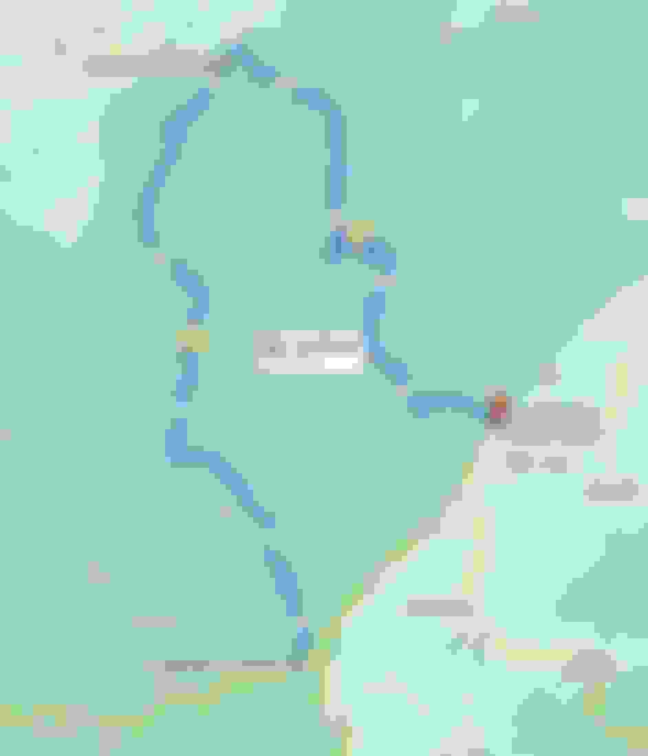
Full route of North Carolina Forest Heritage Scenic Byway https://goo.gl/maps/93hC5SjaY6JVEsNN7
(we will not be doing this exact route, to be discussed in Highlands)
You need to have these points saved to your GPS if you are coming:
There's some great roads around there to explore on the way from Fontana. Hellbender to Elijay then across the county eastwards to Rosman. Thanks for the post up!
darcy
So based on the route map with end point being that Bi-Lo and not Pisgah Tavern, does that mean we’d be driving 276 in both directions? Down and then back up? I don’t live too terribly far from these two roads, but I’m usually doing them alone. It’d be a blast as a group! Count me in!
So based on the route map with end point being that Bi-Lo and not Pisgah Tavern, does that mean we’d be driving 276 in both directions? Down and then back up? I don’t live too terribly far from these two roads, but I’m usually doing them alone. It’d be a blast as a group! Count me in!
Hey all! So this past Monday I decided to make a run up NC Hwy 209 to Dave's 209 Diner via Caesar's Head State park and 276. Then I took 215 south on the way back to Greenville, SC. We won't be able to get to Devil's Courthouse parking lot because the Blue Ridge Parkway is closed in that direction, but not in the other...
Someone somewhere mentioned the road being washed out, and they are correct. There are 3-4 spots on both 215 & 276 that are gravel; either one lane or both for maybe a few feet to several car lengths. "Broken Pavement" signs precede these spots (except for one; it was already repaved; hopefully more will be), and you better slow the eff down cause they're coming up quick! I just went into the other lane for several of these, but that may not be possible when we go. Most of these spots are in the higher elevations and relatively close together from what I remember. There were a few temporary/mobile stop lights too.
Hopefully shouldn't be too much of a damper on things. Then again, I did the run on a Monday not a Friday, and it was absolutely glorious with very light traffic!
See everyone soon!