When you click on links to various merchants on this site and make a purchase, this can result in this site earning a commission. Affiliate programs and affiliations include, but are not limited to, the eBay Partner Network.
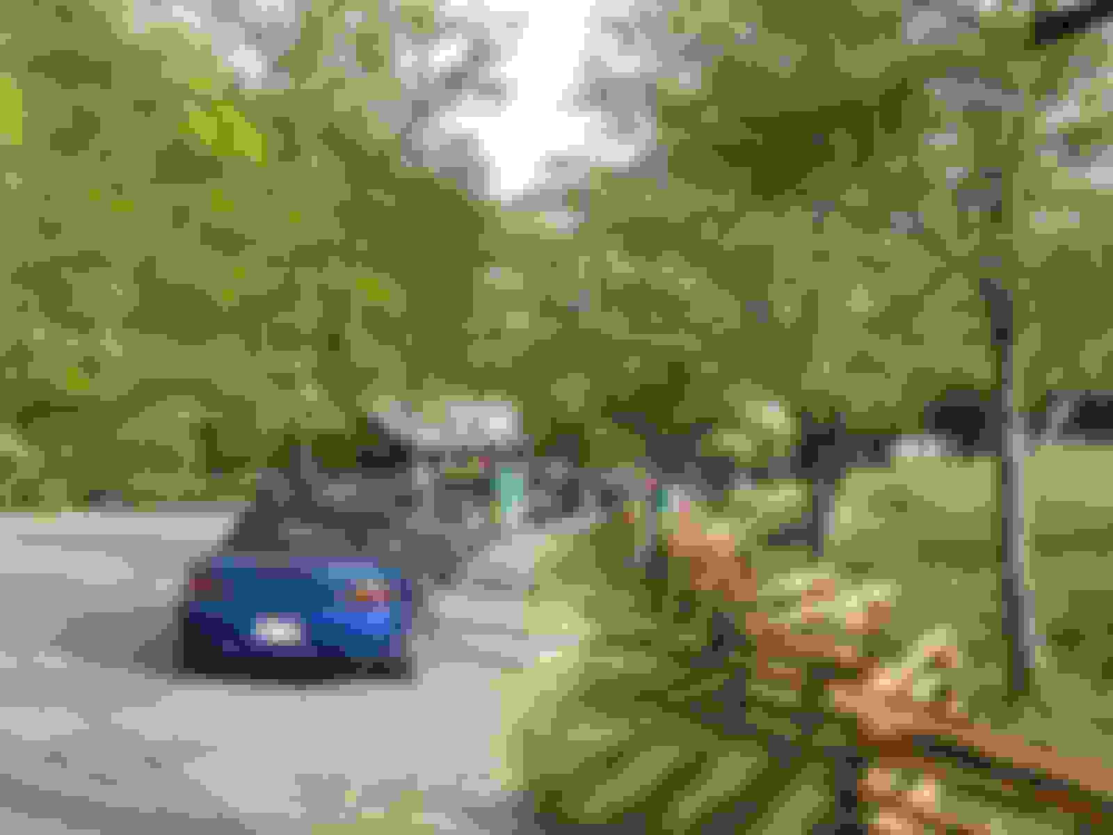
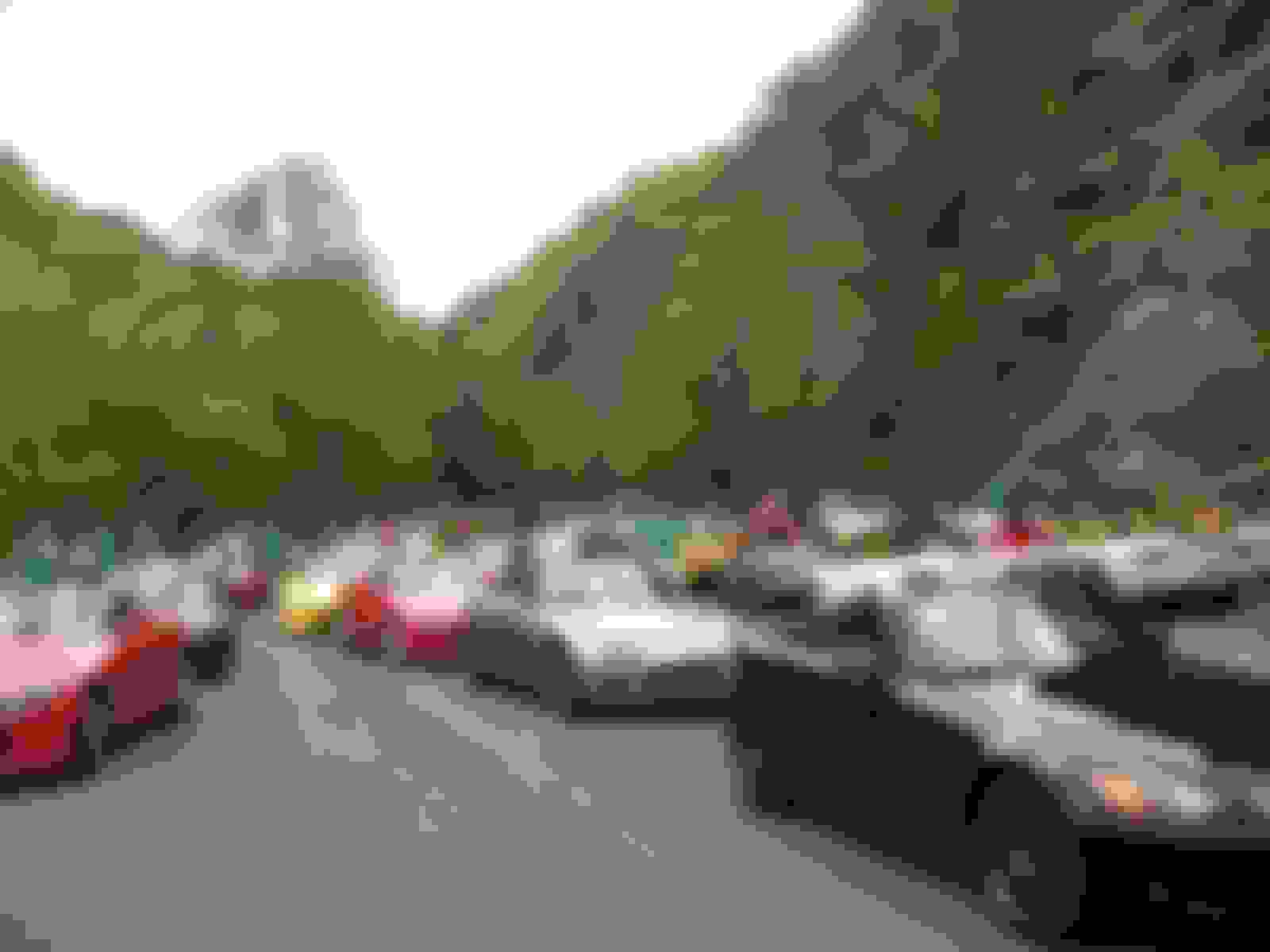
I took a few of the line up for the roll out and the stop where 129 is still blocked off.
Line up:
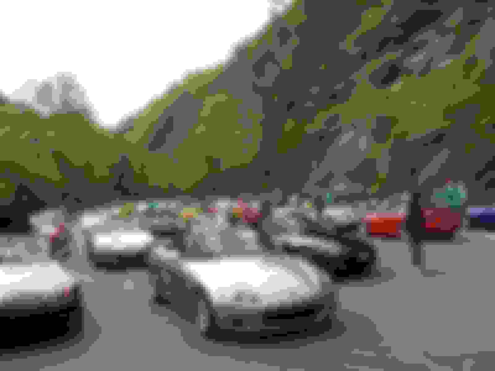
Turn around:
These are unedited (I'm not the event photographer after all ).
I had a blast! As always it was great to put faces to names to screen names. The weather held off until after lunch Saturday so there was plenty of time to run the Dragon as well as TN28. I drove back to Fontana and parked the car then until this morning.
The KWs were a welcome change from my last time there although I did get a bit of tire rub on the drivers side front and rear a couple of times when the car loaded on the drivers side. I'm not sure at this point if I need to change the settings on the drivers side or remove a few pounds from the drivers ass.
I had dinner at the banquet last night with tof (Mike) and Vic. Pleasant company indeed.
On an unrelated note if properly motivated and the traffic cooperates I can leave Fontana, take 28 south to 143, pick up US 129 at Robbinsville to 74/64, and be home in 2:45. If I hadn't needed a stop for gas and a rest stop I think I can shave off a bit more.
And Lainey - if you're ever down that way get a paper map - your Garmin will make some really bad choices.
Whatdaya mean, Attn S1997? The rest of us are interested in the pics too!
Glad you had a good time. Thanks for sharing the pics! It truly looks like one great party. We've enjoyed Vyk's company not all that long ago...tof/Mike still eludes us.
Thanks for the tips on the paper map. We don't usually travel with GPS only.
Matter of fact GPS tried to send us down a snowmobile road in ME a couple years ago. We were smart enough to ignore that instruction. Recently, we saw a story on the news that some other folks, somewhere in ME, attempted to drive down that type of road. Not a good outcome.
Oh, how did they deal with that section of road that was closed? Some NE folks were heading down on their own, for a mid-week trip, but canceled due to that situation.
Oh, how did they deal with that section of road that was closed? Some NE folks were heading down on their own, for a mid-week trip, but canceled due to that situation.
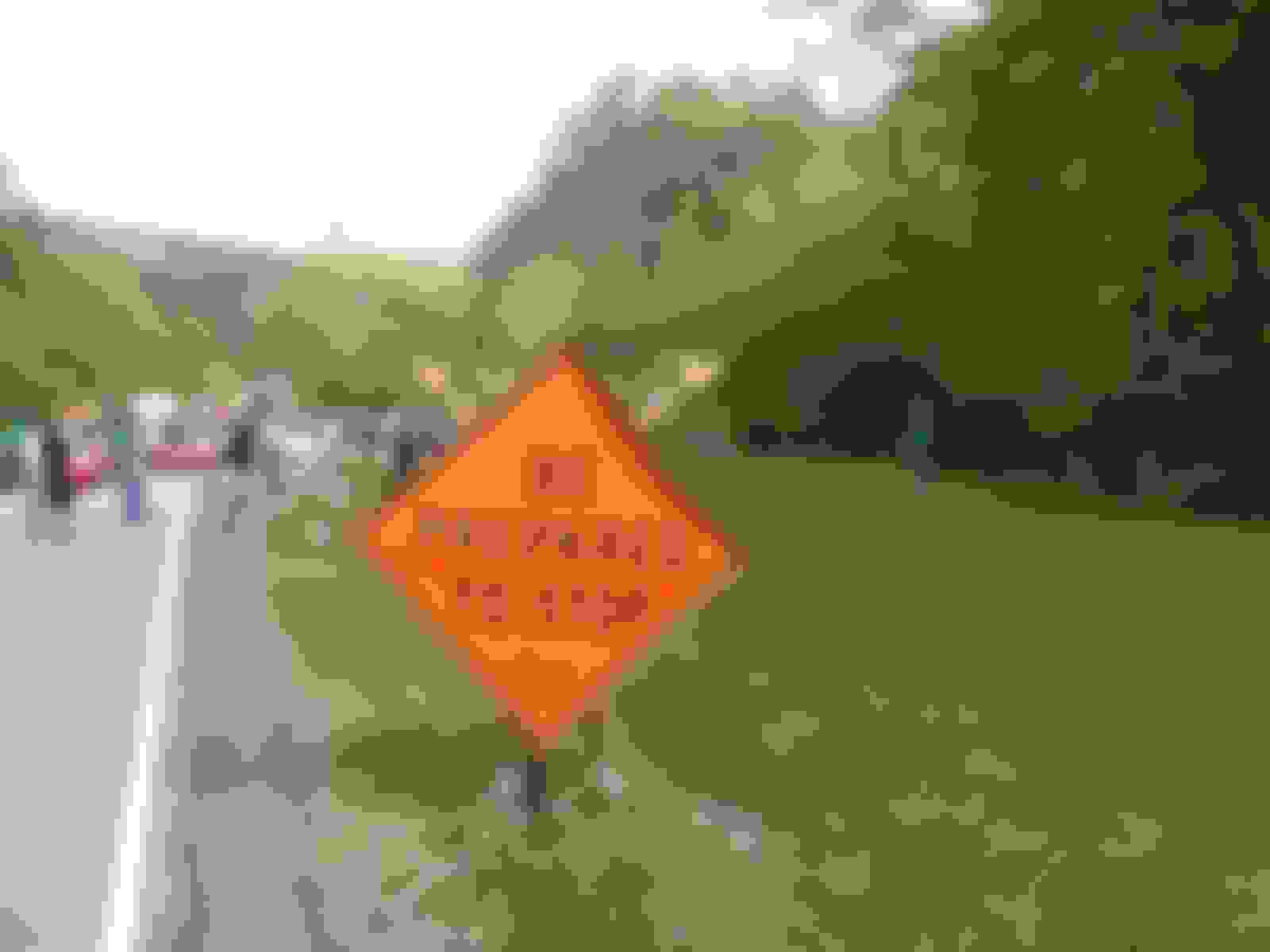
They've simply closed it. On the south side (where we were) there are barricades backed up by bulldozers with a TDOT trailer behind that. It reminded me of pictures of gaps in the Berlin Wall.
You can still get in - you just have to come in south from the NC side.
Matter of fact GPS tried to send us down a snowmobile road in ME a couple years ago. We were smart enough to ignore that instruction. Recently, we saw a story on the news that some other folks, somewhere in ME, attempted to drive down that type of road. Not a good outcome.
Must be your brand or model of GPS mine never sent me down any snowmobile road.
Why the blockage? Are the Volunteers trying to discourage the runs?
I guess you haven't been keeping up with Dragon news. There was a rock-slide on the TN side at the end of the Dragon. The only access is from the south (NC) side, but TN only keeps it open from 8:00 AM til 8:00 PM. There is no thru traffic.
I copied this from the Tail Of The Dragon Website:
It's a Gamin. Not that that makes a difference, it happened to several people recently and I doubt we all have the same GPS. We do have ours set to avoid dirt roads, and likely we also had it set to "avoid highways."
The GPS is not perfect.
MAINE: With the advent of those nifty little navigation units that use GPS, we all get where we're going, right? Not necessarily.
Just ask one poor woman who lives in the wilds of Maine.
She has spent much of her winter towing people out of the woods, because many of their GPS systems translated a muddy snowmobile trail as a real road.
Originally Posted by zzziippyyy,Apr 25 2010, 09:04 PM
Saw the article and Im still I live here and have had GPS for 6 years never and I repeat NEVEr have I had an issue like that yet.
Thanks for the pics, Raymo. A comment re the gps. In 2005 when we were traveling through New Mexico our gps took us through someone's backyard where we eventually ended up staring at a cliff and no road while the Garmin was trying to keep us driving along . We turned around (of course) and went back out to the highway and relied on paper maps to find our way out. I LOVE the gps, but on occasion it has failed us. We always carry a map as backup when we're going into unfamiliar turf.


 ).
).


 }
}


 I live here and have had GPS for 6 years never and I repeat NEVEr have I had an issue like that yet.

 . We turned around (of course) and went back out to the highway and relied on paper maps to find our way out. I LOVE the gps, but on occasion it has failed us. We always carry a map as backup when we're going into unfamiliar turf.