When you click on links to various merchants on this site and make a purchase, this can result in this site earning a commission. Affiliate programs and affiliations include, but are not limited to, the eBay Partner Network.
185 miles south east of Chatham, MA starts a volcanic mountain chain at the bottom of the sea known as the New England Seamounts. The mounts rise as high as 12,000 feet from the sea floor. The Google map allows you to zoom in.
Thanks for posting this. Topography of the ocean floors is always interesting. Even 1960s seabed maps. You can bet the latest are more detailed since the nuc boats run underwater at speed in the deep valleys -- and no windows to look out of!
Inland on the Great Lakes there are several man-made structures on an extinct land bridge across Lake Huron. Stone fences apparently to channelize caribou herds by hunters. (Or space aliens messing with us.) Global warming (man made, of course, is there any other?) caused residual glaciers to melt and raise lake levels and outlines.
Thanks for posting this. Topography of the ocean floors is always interesting. Even 1960s seabed maps. You can bet the latest are more detailed since the nuc boats run underwater at speed in the deep valleys -- and no windows to look out of! ...
-- Chuck
Oh, I wholeheartedly agree! I took a geography class for fun when my kids were growing up and I was a stay-at-home mom. I had taken geography before in college (rocks, volcanoes, mountains) but this time we learned about the sea floor. The one thing that really stuck with me was the spreading of the seafloor, not just the trenches where tectonic plates dive under. To me, it said that the earth is alive. There are animals there that can only live in that hot, different environment and no where else.
From Mid Ocean Ridge, "The Mid-Atlantic Ridge is an example of what is called a slow-spreading mid-oceanic ridge system, which typically is broad with a deep, central rift valley. (Fast-spreading systems are more typical of the Pacific Ocean, where deep trenches are more common than in the Atlantic.) New seabed is continually being formed from the spreading ridge, which creates relatively shallow areas in the middle of the Atlantic above the extremely flat abyssal plains that begin at the margins of the continental shelves."
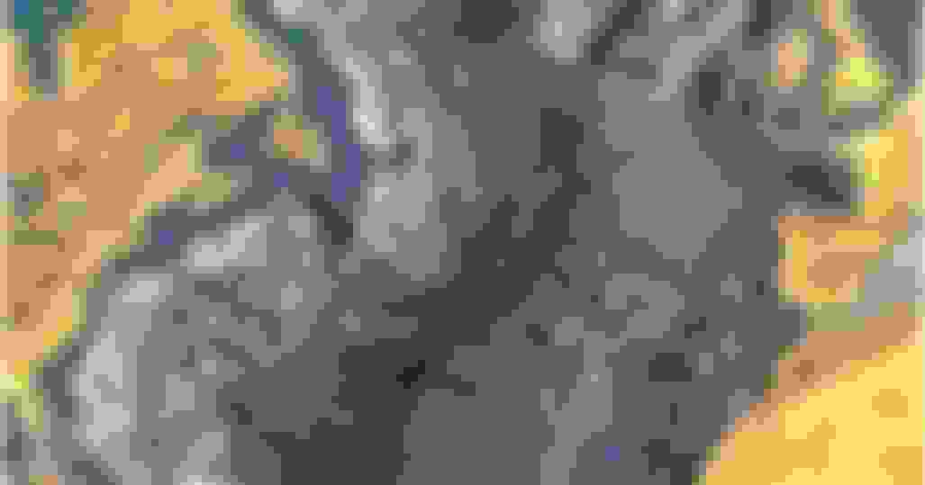
If you look very closely at the 1960s chart above, you can see where the Azore and Canary Islands are located. They are the seamounts that are capped with a yellowish color just like the continents. The Azores are in the middle of the Atlantic and the Canarys are off the coast of northern Africa. Once you have a sense of where they are, click on the google link. On Google you can zoom out a bit and find them. Then zoom right in on them and you can see how big they are, with entire towns and cities located on top of each one. They are clearly the tops of seamounts that have remained above the surface of the water. The New England Seamounts were once above the water as well.